Description
Atlas Harnica Map Collection, loose-leaf maps for HarnWorld
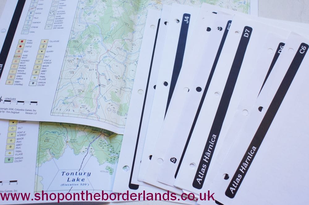
Fifteen A3, full-colour maps of different regions of Harn:
“The Atlas Hârnica series maps all of Hârn at the same scale, depicting all manors, villages, gargun and tribal camps, wilderness trails, contours, hills, streams, and more. Each map corresponds to one grid square on the Hârn regional map.
- C6 Northwestern Coast of the Kingdom of Rethem
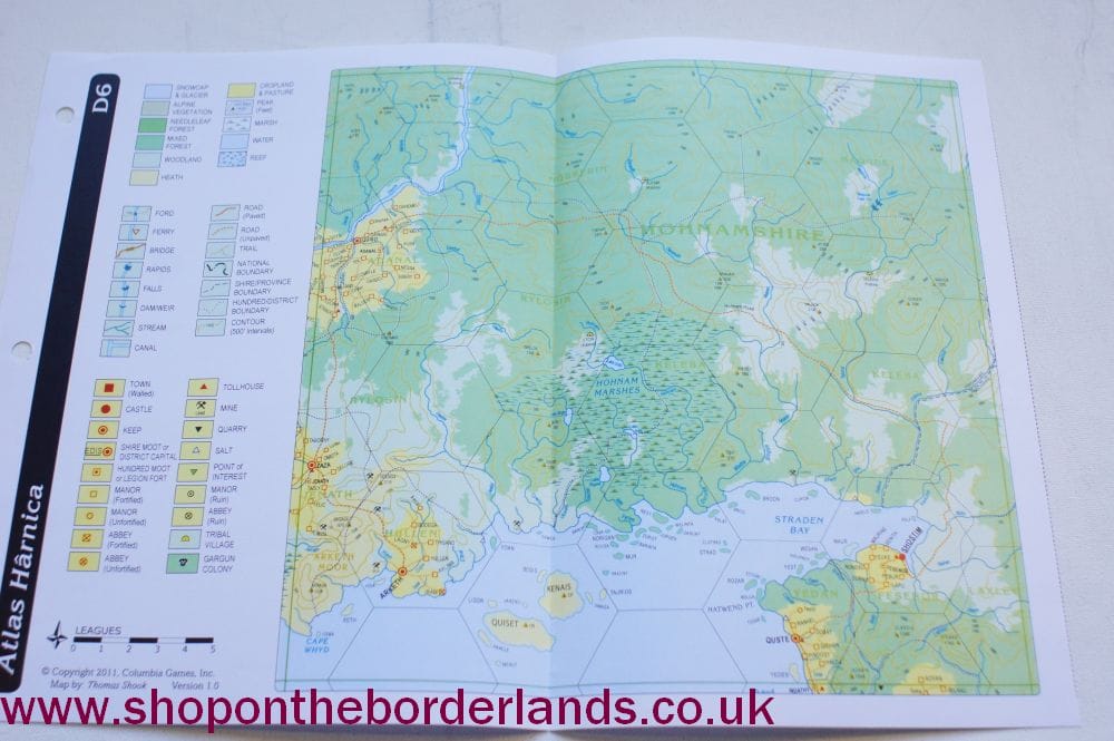
- D6 Shostim and the North Coast of Boka Bay
- D7 Selvos Castle, Tesien, Golotha and Hyen Keep
- D8 Dunir Keep and the vast Ternu Heath
- D9 Sarkum Castle, Hebon Keep and the windswept south coast of Kanday
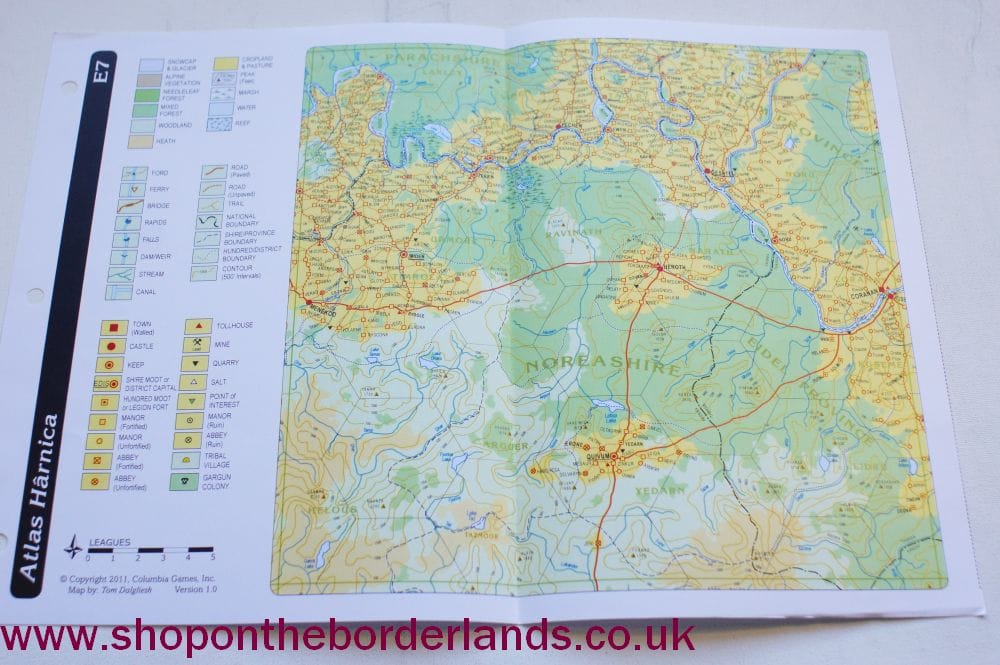
- E7 the region where Tharda, Kanday, and Rethem all intersect
- E8 Kanday’s largest city, Aleath and the royal seat of Dyrisa
- E9 the coastal keeps of Avertu, Gimon, and Minilaous
- J4 northern Kaldor, including Baseta, Bidow, Setrew, Tonot, and Yeged keeps
- J5 the Royal Seat of Tashal at Olokand and Tashal, the second largest city on Hârn
- J6 southwestern Kaldor and parts of Evael, the Elven Kingdom
- K4 northeastern Kaldor and parts of Azadmere, the Dwarven Kingdom
- K5 eastern Kaldor including most of Vemionshire, Balimshire, Thelshire and southern Nephshire
- K6 southeastern Kaldor including the major castle at Qualdris, seat of the Earl of Osel
- L5 the wild region north of Tontury Lake to Azadmere.”
Additional information
| Condition |
|---|
